
Wildfire evacuees and disaster response groups could soon have the power to remotely scan a town for structural damage within minutes, using the newly developed AI tool DamageMap.
A collaboration between researchers at Stanford University and California Polytechnic State University, San Luis Obispo—the project uses aerial imagery and a deep learning algorithm to pinpoint building damage after a wildfire event. The research could guide disaster relief and personnel toward areas that need it most, while keeping concerned homeowners informed.
“After a fire or disaster, lots of people need or want to know the extent and severity of damage. We set out to help reduce the response time to get actionable information valuable to fire victims, and emergency and recovery personnel,” said G. Andrew Fricker, an assistant professor at Cal Poly and codeveloper of DamageMap.
As the impacts of climate change lead to warmer and drier conditions, wildfire disasters are hitting communities more frequently and severely. In 2020 Western US wildfires destroyed over 13,000 buildings, amounting to almost $20 billion in losses. With months to go in this season, California has already seen over 7,000 fires damage about 3,000 structures.
When blazes subside damage assessments teams perform inspections and evaluate the safety of burned areas. These reports are used by emergency operations centers to organize disaster relief and recovery resources for residents. Knowing the location and the amount of damage in a region could help emergency groups allocate resources, especially when juggling multiple fires simultaneously.
While inspections are an essential step for repopulation, they are also time-consuming and resource-intensive.
Recent machine learning models have looked to alleviate this burden using satellite imagery. But, most methods require high-quality pre- and post-wildfire images of similar composition (such as lighting and angle) to detect changes and pinpoint areas of damage. They also require up-to-date images for accuracy, which can be costly to maintain and difficult to scale.
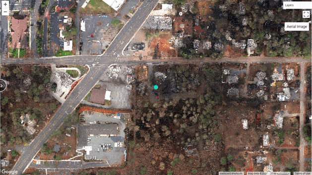
With DamageMap, the researchers trained a new deep learning algorithm capable of detecting damage by employing two models that work together and sleuth out the conditions of a building. The first model relies on any pre-fire drone or satellite imagery in a region to detect buildings and map out footprints. The second model uses post-fire aerial images to determine structural damage, such as scorched roofs or destroyed buildings.
The researchers used a database of 47,543 images of structures from five different wildfires across the globe to train the neural network. Hand-labeling a subset of these images as damaged and undamaged, the algorithm learned to identify and classify structures.
They tested the model using imagery from two recent California wildfires—the Butte County Camp Fire, and Shasta and Trinity County Carr Fire. Comparing model predictions against ground surveyor data—which records the location of damaged buildings—DamageMap accurately detected damaged structures about 96% of the time.
The technology is not only accurate, it’s also fast. Using an NVIDIA GPU and the cuDNN-accelerated PyTorch deep learning framework, DamageMap processes images at a rate of about 60 milliseconds per image.
Courtesy of the DamageMap team
Classifying the 15,931 buildings in the town of Paradise—an area almost completely destroyed by the 2018 Camp Fire—takes 16 minutes.
The work is available for testing and exploring, with the code and supporting analysis on GitHub. The researchers encourage others to use, develop, and improve the model further.
According to Fricker, the tool can be trained to look beyond damaged buildings and include elements such as burned cars, or downed power lines to further inform response and recovery efforts.
Read the full article in the International Journal of Disaster Risk Reduction >>
Read more >>
