GTC-DC 2019: Automated Feature Extraction Using High Off-Nadir Satellite Imagery for Humanitarian Assistance and Disaster Response (HADR) (Presented by Maxar) - Overview
Note: Viewing this video may require joining the NVIDIA Developer Program or login in
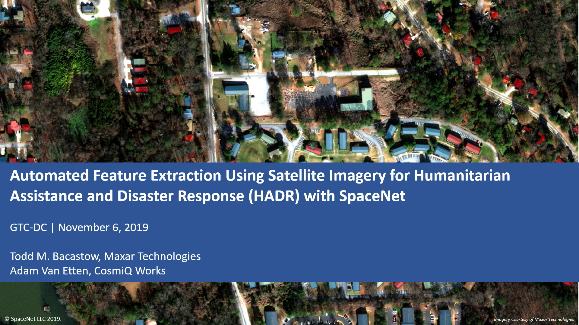
GTC-DC 2019: Automated Feature Extraction Using High Off-Nadir Satellite Imagery for Humanitarian Assistance and Disaster Response (HADR) (Presented by Maxar)
Todd M. Bacastow, Maxar; Adam Van Etten, In-Q-Tel; Nick Weir, ; Nick Weir,
We’ll discuss how satellite imagery is collected during disasters. For foundational maps, satellite imagery is typically collected at nadir — looking straight down. During disasters, imagery must be taken and provided to first responders as soon as possible. If a satellite is not directly overhead, this imagery is collected off-nadir. We’ll present the results of the SpaceNet 4 competition, which was held in Oct. 2018 to examine the performance of building detection algorithms. It used the first publicly-released, labeled training set of 27 images from 7 to 54 degrees off-nadir, collected over Atlanta in burst mode by Maxar’s WorldView-2 satellite. Results showed the impact of high off-nadir imagery on inferencing and frames lessons learned in the context HADR. SpaceNet open datasets are freely available on AWS, and open source algorithms are available in GitHib to encourage future research.